X Marks the Spot: What Is That Thing?
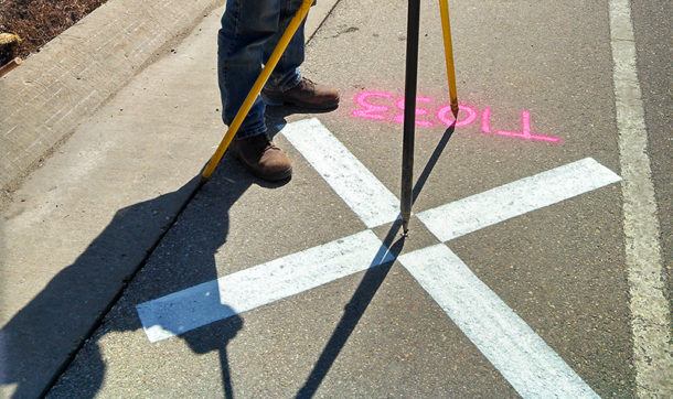
 Ever notice those big white X’s painted on roads? If you haven’t, you’ll probably start noticing them now. (And you may also see T- or L-shaped versions). They’re known as aerial targets, and their purpose is to provide control for aerial mapping flights. But it’s not control in the conventional sense of “control freak.” In this case “control” refers to a control network, which is a set of known geospatial reference points, or ground coordinates.
When aerial imagery is acquired, in order for it to be usable for applications such as engineering design, tax boundary assessments, floodplain mapping, or zoning compliance, it requires real-world known control points on the ground. A simple snapshot from the sky won’t cut it when high-accuracy data is required. You need the X’s, and you need them to be big so they can be seen from the sky.
As for how they get there, it’s usually a surveyor who paints them. Jamey Reid, a surveyor with Ayres since 1993, estimates he’s painted close to a thousand of them – from South Carolina to Kansas to California.
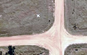
 When there’s no pavement to be painted on, X’s made of plastic material are temporarily affixed to the ground, as shown in the photo at right.
For more information on survey and mapping, visit our geospatial and land surveying service pages.

Post a comment: