Nationally recognized for our aerial mapping, land surveying, and GIS, our turnkey process delivers exceptional value without sacrificing one inch on quality or service.
Try out the Ayres Lidar Online web app!
Resources
What are you looking for?
- All Geospatial Projects
- ALTA/NSPS Surveys
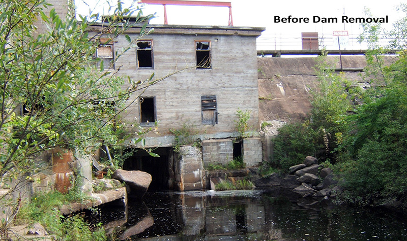
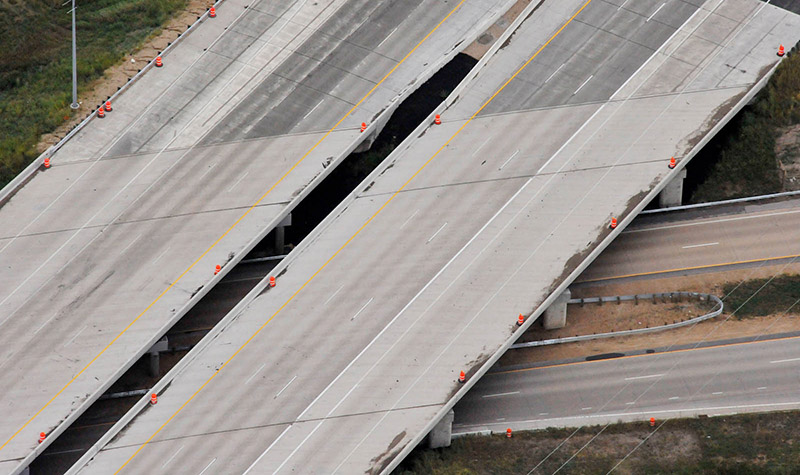
- Aerial & Mobile Lidar
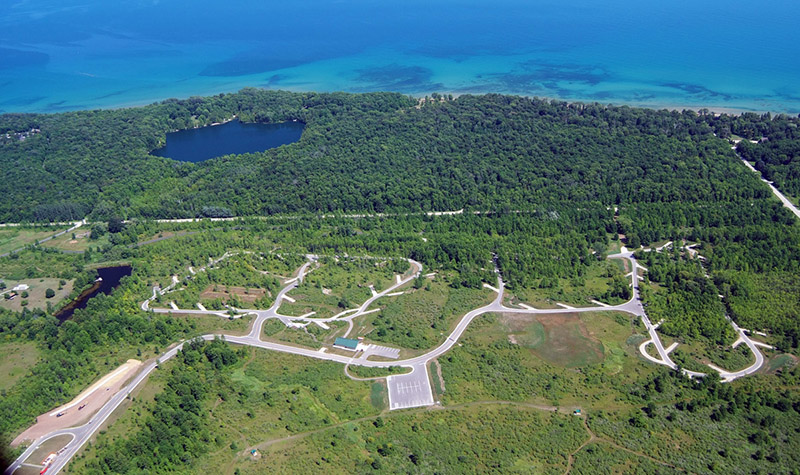
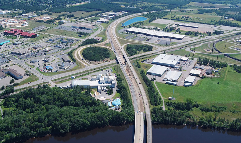
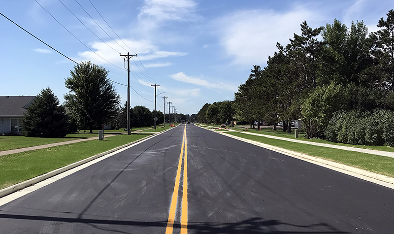
- Aerial Imaging
- As-Built Survey
- Asset Management
- Boundary Survey
- Construction Staking
- Digital Orthoimagery
- Electric Transmission Line Corridors
- Electric Utility Survey
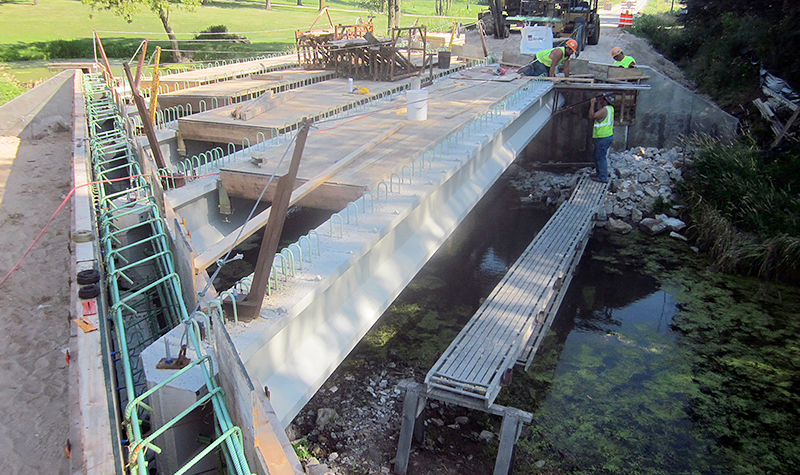
- Engineering Design Surveys
- GIS Consulting
- Geodetic Control
- Ground Control
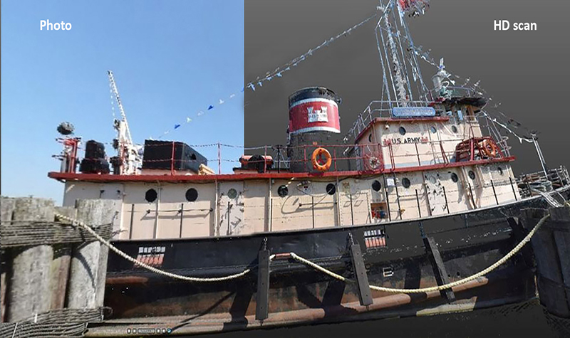
- HD Scanning
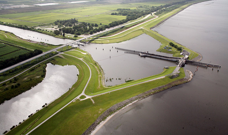
- Hydrographic Survey
- Impervious Surface Mapping
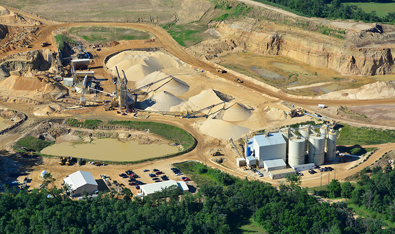
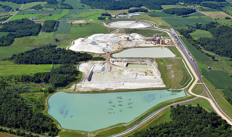
- Mining Sites, Wind Farms & Energy Corridors
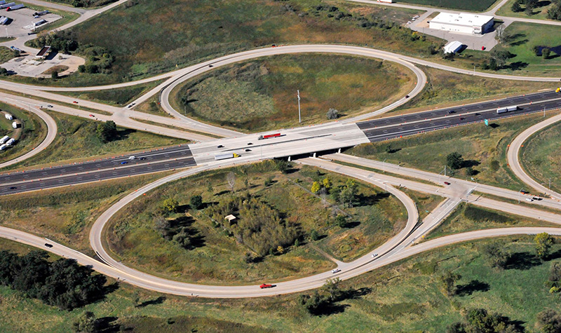
- Photogrammetric Mapping
- Remote Sensing
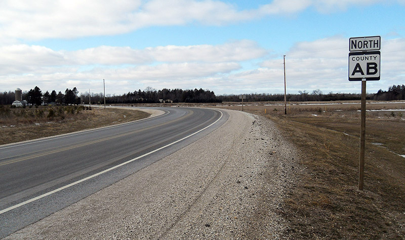
- Right-of-Way Plats
- Telecom Network & Infrastructure Mapping
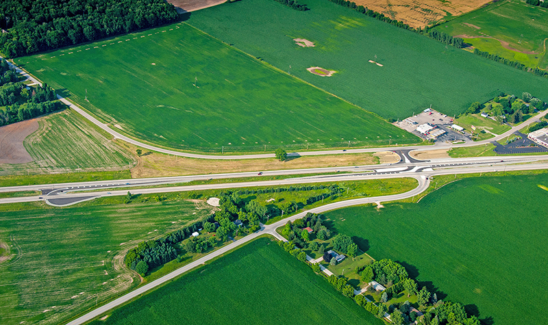
- Topographic & Site Survey
- USGS Grant Assistance
- Unmanned Aerial Systems


-WEB.jpg)


-WEB.JPG)