Wisconsin Regional Orthoimagery Consortium
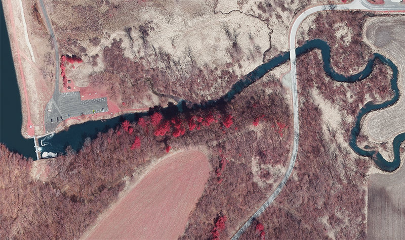
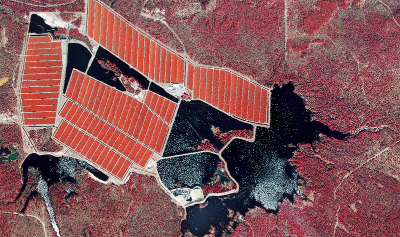
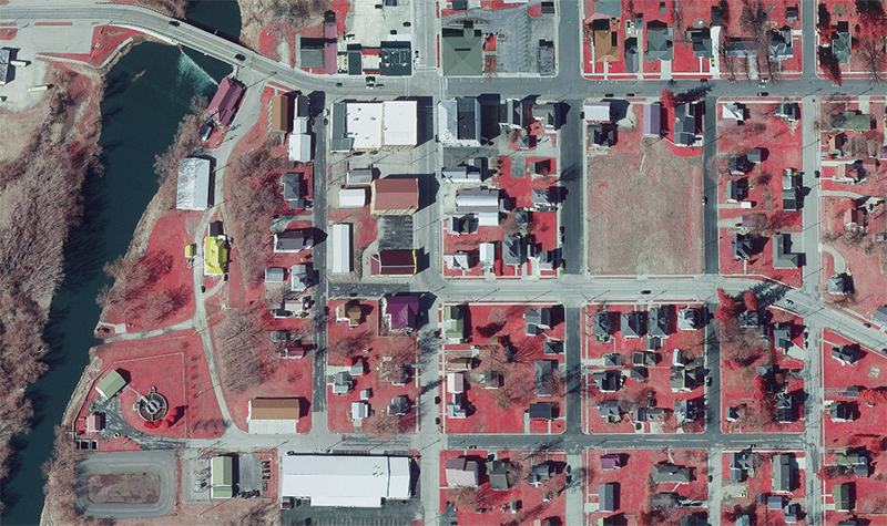
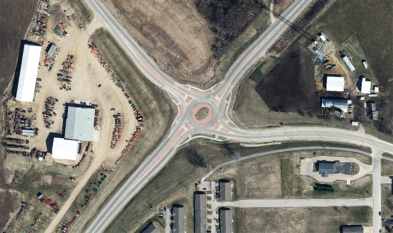
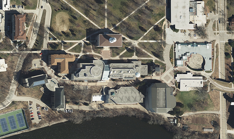
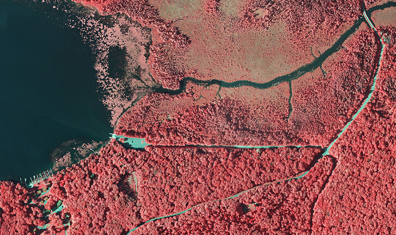
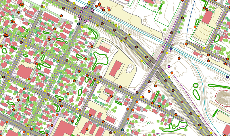
« Return to Project SearchThe Wisconsin Regional Orthoimagery Consortium (WROC) is a multi-entity group with the goal of building and sustaining a program to acquire digital orthoimagery and elevation data statewide. The WROC approach brings potential benefits to members, including cost savings, specifications and standards support, data sharing between members and partners, and procurement support.
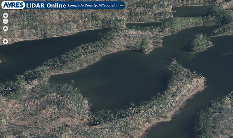
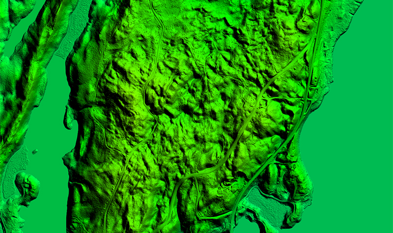
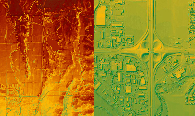
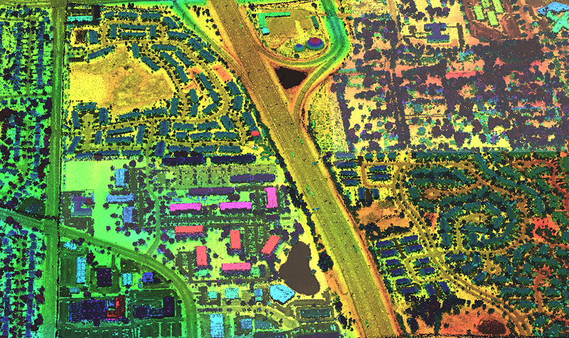
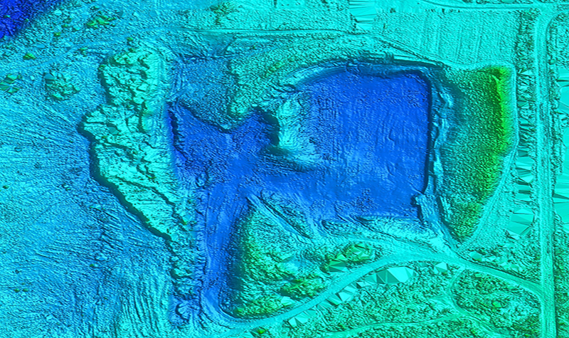
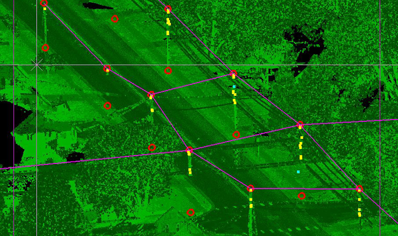
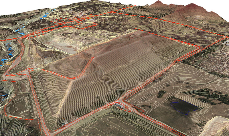
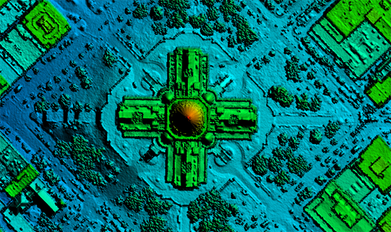
Flights to collect aerial imagery were conducted over an eight-week period in spring 2020. The WROC team deployed aircraft equipped with precision aerial sensors over more than 60 counties to capture the imagery after snow had melted and before leaves emerged. Separate missions were mobilized over some counties to collect aerial lidar (light detection and ranging) for topographic mapping.
To facilitate a cooperative approach for orthoimagery data acquisition, WROC representatives work with the Wisconsin land information community to strengthen relationships between local, regional, state, federal, and private entities. The benefits of a consortium approach, however, should not come at the expense of meeting each member’s specific needs. To that end, WROC is designed to allow all participants to receive products and services tailored to their individual needs.
With a five-year cycle, WROC 2020 marks the sixth time since 1995 that a major grassroots consortium has worked together for mutual benefit in Wisconsin. Ayres has been the mapping consultant for each of these efforts, a strong indicator of our commitment to client service and long-term client satisfaction.
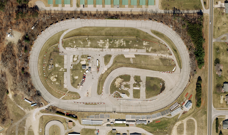
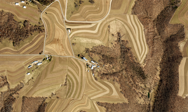
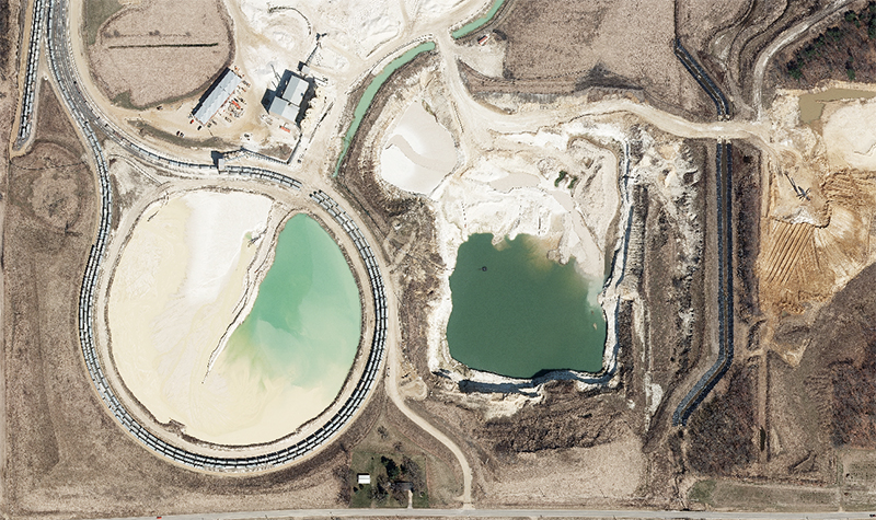
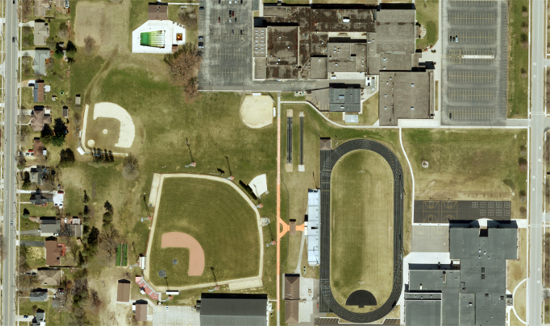
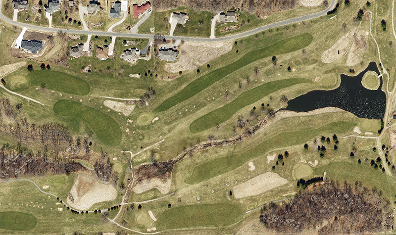
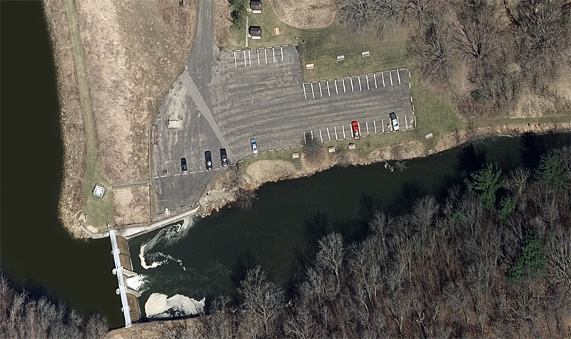
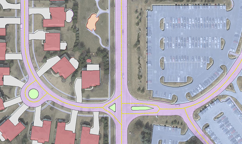
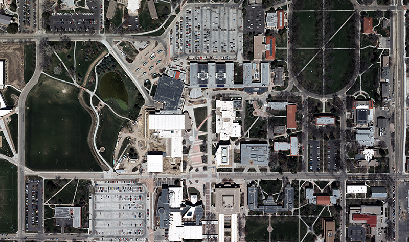
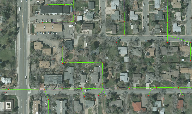
In 2014 and 2015 the WROC team, along with its members and partners, acquired 35,000 square miles of high-resolution orthoimagery throughout the state. The current program features a significant increase in funding support, resulting in higher resolution datasets for nearly every participant. The increased funding support has enabled all participants to acquire 6-inch, and even 3-inch, pixel resolution orthoimagery.
The American Council of Engineering Companies of Wisconsin presented Best of State Awards to the 2020, 2015, and 2010 WROC programs. The American Council of Engineering Companies gave the 2020 program its National Recognition Award.
- Jason Krueger, Vice President - Geospatial Services
- Amber Tomaras, Technical Supervisor - Geospatial Services
- Adam Derringer, Senior Project Manager - Geospatial Services
- Aaron Sale, Supervisor - Geospatial Services
- Matthew Vinopal, Senior Project Manager - Geospatial Services
- Zachary Nienow, Manager - Aerial Mapping
- Jeffrey Koppensteiner, Technical Supervisor - Geospatial Services
- Carson Curry, Technical Supervisor - Geospatial Services

Project Information
Client's NameNorth Central Wisconsin Regional Planning Commission
LocationStatewide, WI
Primary ServiceGeospatial
MarketLocal Government

