Wisconsin Height Modernization Digital Leveling
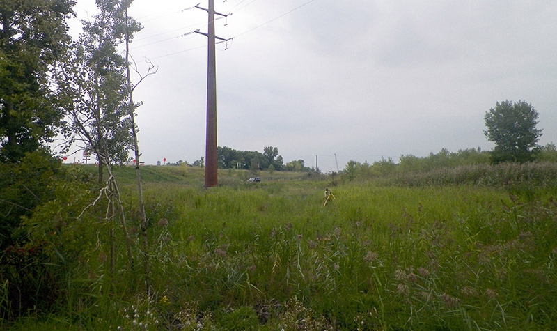
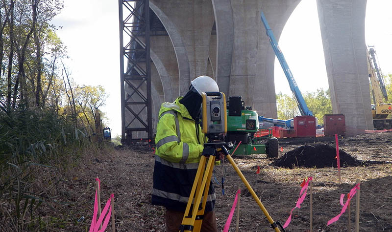
« Return to Project SearchThe Wisconsin Department of Transportation retained Ayres to perform digital leveling to 2nd Order, Class 1 National Geodetic Survey specifications. Level lines consisted of double-running approximately 250 kilometers. Field survey data was collected using a Trimble Dini3 Level and Invar rods. Survey field data was processed using Translev and Windesc.
Daily field procedures involved the placing of signs for safety and traffic control. The project posed unique challenges in that the work was completed late in the year, when weather was volatile. The deliverables for these projects included raw and edited field data files, Translev and Windesc processed data, properly named images, and final reports.
Project Information
Client's NameWisconsin Department of Transportation, Central Office
LocationVarious Locations, WI
Primary ServiceGeospatial
MarketState + Federal + Tribal

