I-43 Mobile Lidar Ground Survey Targeting
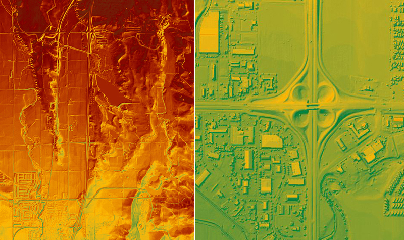
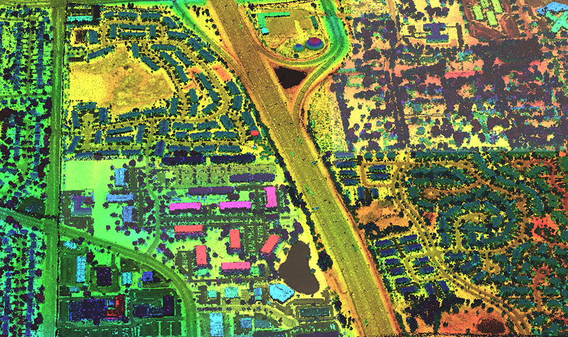
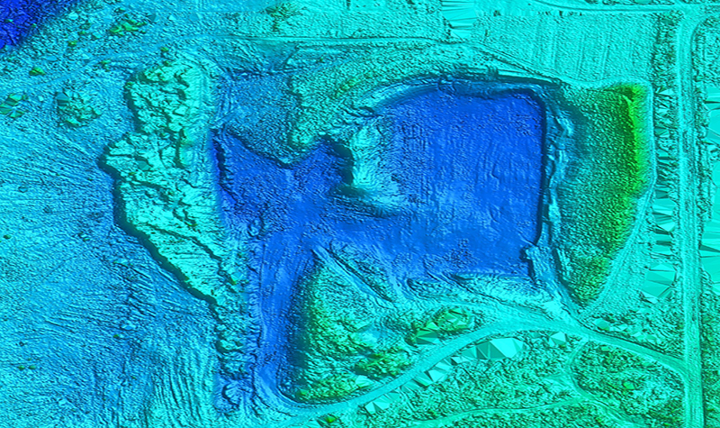
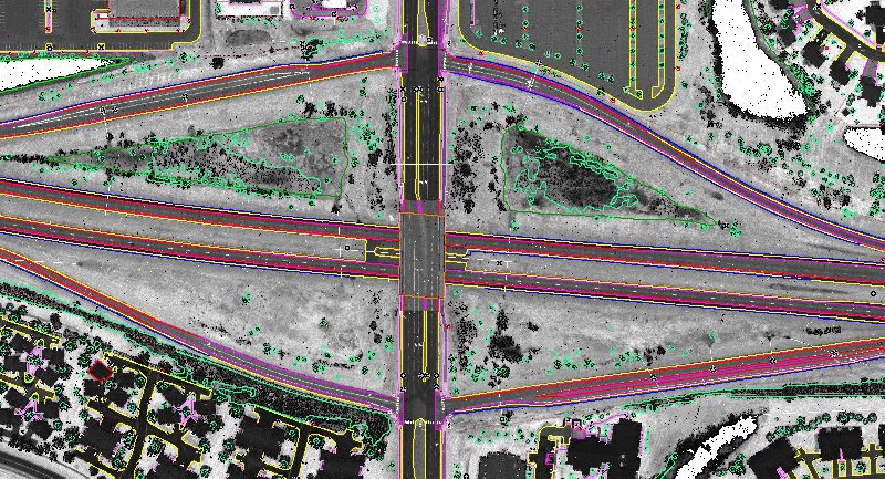
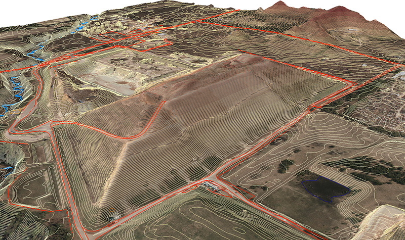
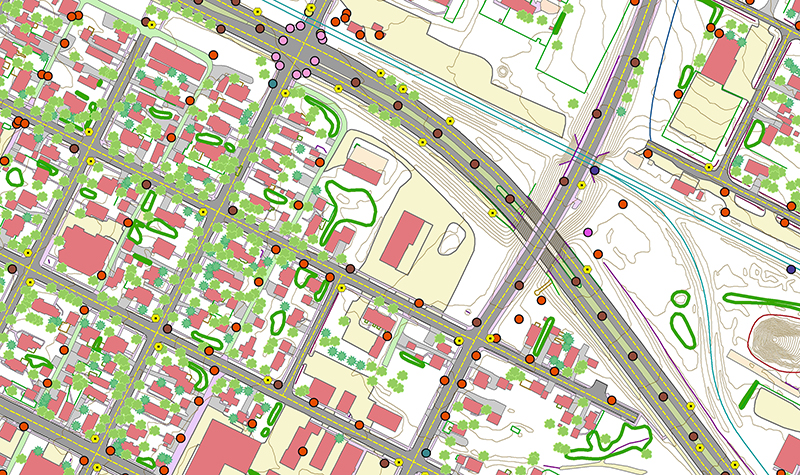
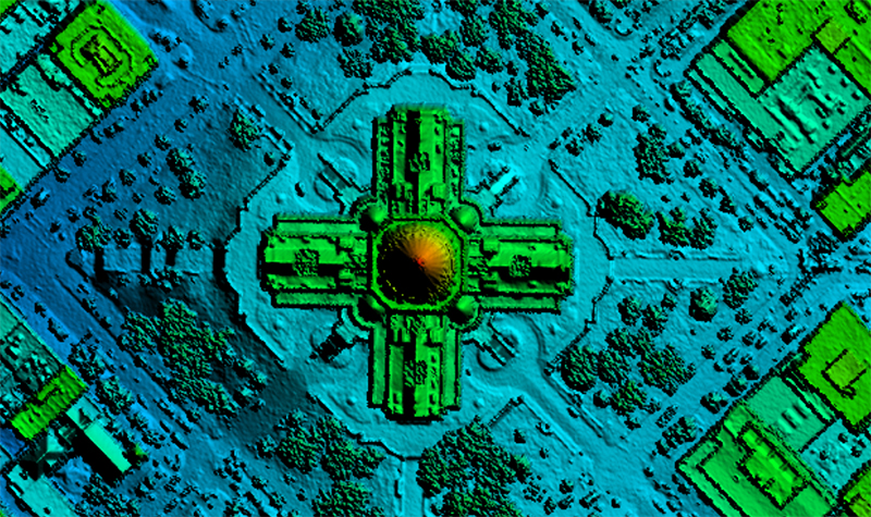
« Return to Project SearchAyres provided mobile lidar acquisition services for the I-43 corridor in Milwaukee and Ozaukee Counties under multiple Wisconsin Department of Transportation master contracts. The project consisted of approximately 50 total linear miles of mobile lidar collection to support survey grade data. Lidar and digital imagery were collected to maximize detection of features within 70 feet of the paved road edge. The lidar-derived digital terrain model (DTM) was supplemented with photogrammetric mapping compiled by Ayres under a separate work order.
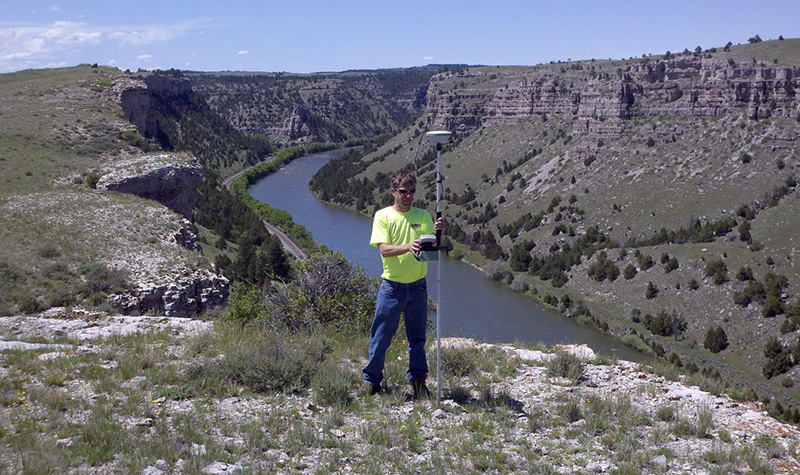
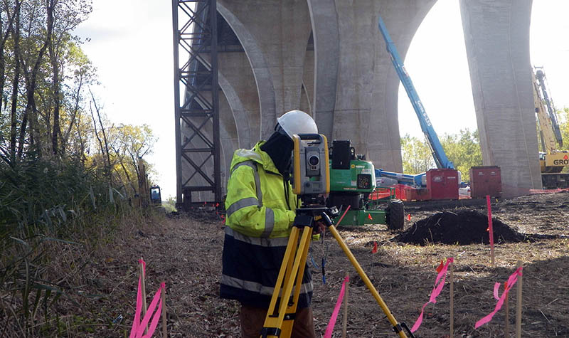
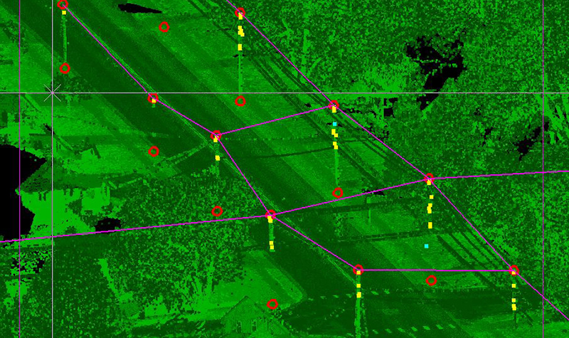
Approximately 500 targets were painted on various portions of I-43, crossroads, and Port Washington Road. The primary control network included more than 100 newly established control monuments. The control was surveyed using RTK GPS and digital leveling techniques. Because of high traffic volume and other safety considerations, night work with lane closures was required. GPS receivers were stationed during the mobile lidar acquisition, ensuring measurement redundancy and deliverable quality.
Project Information
Client's NameWisconsin Department of Transportation, Southeast Region
LocationMilwaukee and Ozaukee Counties, WI
Primary ServiceGeospatial
MarketState + Federal + Tribal


