Mapping Consortium Project Wins ACEC Wisconsin Best of State Award
 The American Council of Engineering Companies of Wisconsin has announced that Ayres Associates’ Wisconsin Regional Orthophotography Consortium project has won a Best of State Award in its 2016 Engineering Excellence Awards program
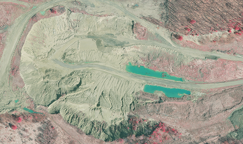
Through the consortium, Ayres provided cost-effective, tailored orthoimagery, lidar, planimetric mapping, and other products to dozens of clients throughout Wisconsin, including aerial imagery for 43 counties and lidar (light detection and ranging) for 17 counties. The program obtained about 40,000 square miles of orthoimagery and 15,000 square miles of lidar in Wisconsin in 2014-2015.
High-accuracy orthophotography and lidar is a crucial component of emergency preparedness, asset management, and infrastructure planning and design. It gives highly accurate and detailed data to those who need it most – whether for emergency dispatch, code enforcement, floodplain mapping, environmental analysis, property assessment, impervious surface mapping, topographic mapping, building permit tracking, or zoning enforcement. Local, state, federal, tribal, and private agencies all need this information and, rather than each acquiring it on their own, WROC offers a streamlined solution that saves money and eliminates unnecessary duplication of services.
“I think it’s just unique that you’ve got everything from local municipalities all the way up to federal agencies and the private sector all working together for a common goal,” said Andy Faust, GISP, senior GIS analyst with the North Central Wisconsin Regional Planning Commission.