A Decade of Changes in Infrastructure Design

With another decade in the books – and a new one starting up – it’s time to look back on some of the most interesting questions in the architecture/engineering world that technology has answered in the last 10 years. What Will the Finished Project Look Like? How can most people (who aren’t engineers or professional… Read More »
Tags: 3D BIM, 3D Modeling, 3D renderings, CFD, Computational Fluid Dynamics, flythroughs, HD Scanning, High Density Lidar, Rendering, Subsurface Utility Engineering, SUE
Emerging Technology Provides Safety, Efficiency for Structural Inspection

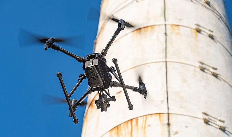
The American Society of Civil Engineers gave our national infrastructure a “D” on its most recent (2017) infrastructure report card. When it comes to maintaining the built world around us, regular structural inspection is a must. Careful inspections help prevent small issues from becoming big – or even catastrophic – problems. What does a “D”… Read More »
Tags: Aging Infrastructure, Bridge Inspection, Drone, Emerging Technology, Infrastructure Assets, Scour, Scour Inspection, Structural Inspection, UAV, Unmanned Aerial Systems, Unmanned Aerial Vehicles (UAVs), Unmanned Surface Vessel, USV
Surveyors Stepping Up to International Foot

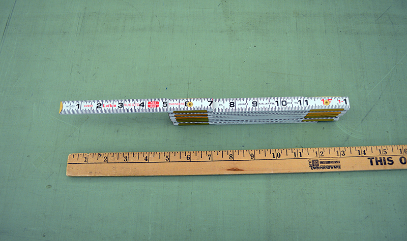
How long is a foot? Well, that depends on who’s doing the measuring, what state they are doing the measuring in, and what measuring “stick” they are using. Land surveyors in most U.S. states use the U.S. survey foot. The rest of the world, including some U.S. states, uses what’s known as the international foot,… Read More »
Tags: datums, geodetic survey, International Foot, National Oceanic and Atmospheric Administration, NoAA, Survey, surveyors, U.S. Survey Foot
