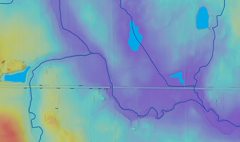
The Many Benefits of Elevation-derived Hydrography

By Tyler Kaebisch Hydrography data is crucial to a wide range of essential applications, from infrastructure management to flood mitigation. State agencies, soil and water conservation districts, engineering departments, and more all rely on stream and river data. About the Expert: Tyler Kaebisch is a project manager in the aerial mapping group at Ayres, He’s… Read More »
Tags: DEM, Digital Elevation Model, Elevation-derived Hydrography, hydro-DEM, Hydrography, Hydrography Data, LiDAR, River Data, Stream Data, USGS 3DEP Elevation Data, USGS 3DEP Lidar, Watershed Stream Networks
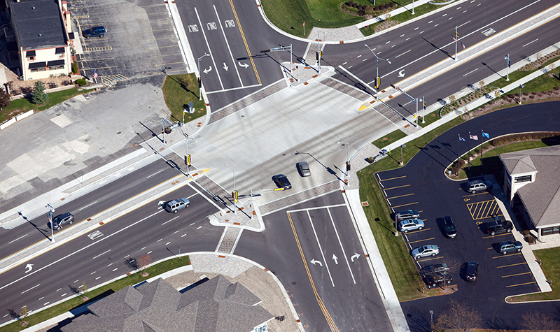
Concrete vs. Asphalt: What’s the Best Roadway Surface?

By Mark Petersen, PE Budgets for roadways are tight, and elected officials have to seek the most value for limited construction and maintenance dollars. Unlike homeowners contemplating a new driveway, municipalities may be looking at miles of surface that must safely accommodate hundreds of vehicles a day. So which is the best investment, asphalt or… Read More »
Tags: Asphalt, Asphalt vs Concrete, Concrete, Installation, Markings, Pavement, Road Maintenance, Roadways, Traction, Traffic
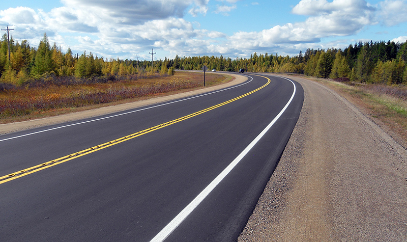
PCI, PASER Provide Road Surface Report Cards

By Mark Petersen, PE Anyone driving a vehicle on a bumpy, rutted, potholed roadway can determine that the road needs attention, but the agencies responsible for funding repairs and replacements need a more reliable, scientific way to determine where limited highway dollars should be invested. About the Expert: Mark Petersen has been a transportation engineer… Read More »
Tags: Mobile Lidar, PASER, Pavement Condition Index, Pavement Surface Evaluation and Rating, PCI, Road Inventory, Road Repairs, Road Segment, Roadway Condition
