Wisconsin Regional Orthoimagery Consortium Covers the State, Catches National Attention

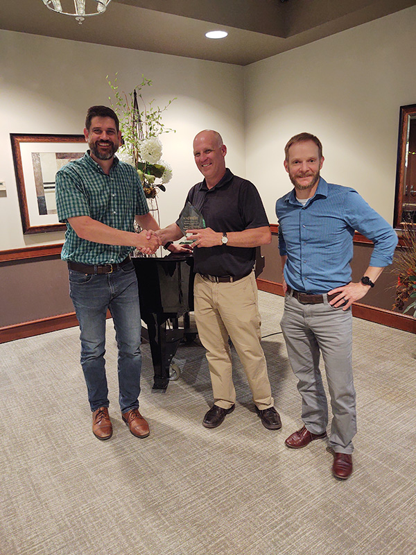
The American Council of Engineering Companies awarded a 2021 National Recognition Award to the Wisconsin Regional Othoimagery Consortium program as part of its Engineering Excellence Awards Gala held virtually on Thursday. The award recognizes the entire consortium, with special recognition for the North Central Wisconsin Planning Commission and Ayres. This award comes on the heels of a previously announced ACEC of Wisconsin Best of State Award for WROC.
Despite a global pandemic that prompted an unprecedented shift to work-from-home environments and halted projects around the state, the one-of-a-kind mapping program known as WROC soldiered on. It delivered high-quality, highly accurate geospatial data and, for the first time, achieved statewide 12-inch-pixel orthoimagery coverage.
“I am very honored to receive this award,” said Andy Faust, senior GIS analyst with the North Central Wisconsin Regional Planning Commission. “This is a big deal for Wisconsin, and it’s great to be recognized nationally by ACEC. The WROC program brought together over 100 funding partners to achieve statewide aerial imagery for a broad range of planning, engineering, and environmental applications.”
WROC, a collaboration of local, county, state, and private organizations, originated in 1995 and operates in five-year cycles. WROC 2020 was exceptional, not only because of the achievement of statewide 12-inch coverage but also because of the record-level participation: 62 member counties and 50 funding partners, up 33% from the 2015 program. During the 2020 cycle, 56,000 square miles of aerial imagery and 11,000 square miles of aerial lidar was acquired. The Ayres team delivered customized datasets to over 100 entities.
The uses for WROC data range from transportation planning to tax parcel mapping to governmental decision-making.
